


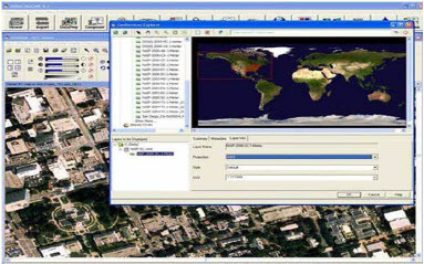
Using Remote sensing technology by Program ERDAS
Program Code : T104
What Will I Learn ?
• Fundamentals of remote sensing review – the ERDAS imagine viewer.
• Enhance and visualize your data.
• Creating image maps.
• Change detection and update features.
• GIS analysis – general revision for whole course topics.
Contact us at:
- Email: info@rctws.versa-soft.com
- Phone: 02 38332691
Earn a certificate
Add this certificate to your resume to demonstrate your skills & increase your chances of getting noticed.

Course Schedules
No virtual schedules available
Material Includes
- Certificate on Completion.
Requirements
- Have email account.
Audience
- Engineers and Who is Responsible